|
Planning
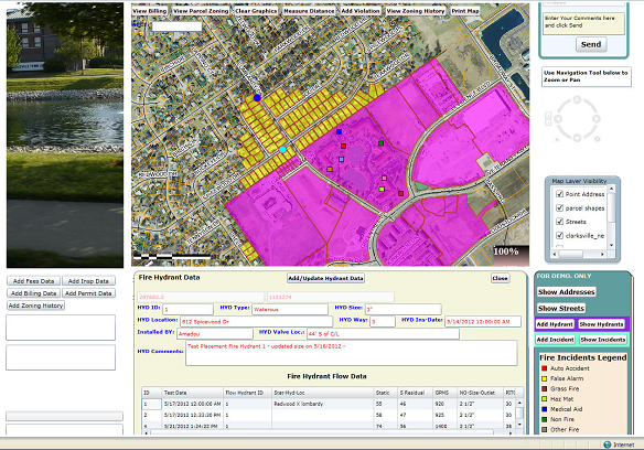
Planning Departments are increasingly challenged to maintain or reduce costs while maintaining the effectiveness and efficiency of overall services and operations. If your city or town has inherited data from the county and you wish to set up GIS to enhance the way your infrastructure is maintained while making data available to employees with little computer and/or CAD/GIS experience, then our team of experts can help you develop friendly interfaces to find parcels, locate street intersections, report on a number of parcels, view imagery of the city or town; create new Zoning and Land Use Maps; configure systems to work with other GIS package, update original zoning and tax maps, find the zoning history of any parcel in the city/town, find all parcels in a flood zone, calculate impervious areas of commercial and business areas, prepare maps for plan commission and many other boards meetings, answer questions of potential investors, and sell maps to the private sector. Our solution isn’t software driven. We tap into the VBA objects of most CAD/GIS software or use an integration of GIS and Visual Studio to deliver an effective and efficient product our clients use with ease. Some of our clients include the City of Bedford (parcel, zoning, integration of ArcView and PTWin32 Permitting software), the Town of Mooresville (parcel, zoning, integration of ArcView and LaserFiche), the City of Carmel (parcel, zoning, land use, quality control).
|
